


 pays tribute to the late Minister Sadio Camara at the Malian Embassy")
 was received in audience in Accra by the President of the Council of Ministers (PCM) of the institution.")

The World Meteorological Organization (WMO), the Volta Basin Authority (ABV) and the
Global Water Partnership in West Africa (GWP-AO) are implementing the project
“Integrating Flood Management and Drought and Early Warning for Climate Change Adaptation in the Volta Basin (VFDM) ”funded by the Adaptation Fund. Project activities started in June 2019 and will last until mid-2023. The implementation of the VFDM project involves the active participation of national agencies (national meteorological and hydrological services, water resources, water protection, civil protection, etc.) and WMO partners, such as the CIMA Foundation and CERFE.
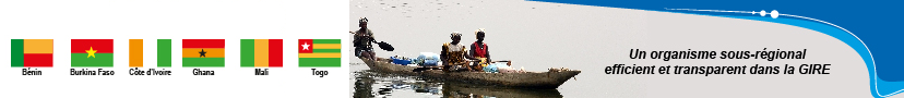
One of the planned activities of the project consists in “mapping” the vulnerability and
capacities at the community level in the 6 countries of the Volta Basin, in particular in 60 sites in the six (6) countries of the Volta Basin ( Burkina Faso-15-, Ghana-15-, Mali-7-, Togo-7-, Benin-8- and Côte d’Ivoire-8-), located in ten (10) areas already identified.
Mission objectives
The general objective of the mission is to identify the multidimensional factors of
vulnerability (social, economic, ecological, cultural, political and
infrastructural determinants of vulnerability) in areas of the Volta Basin highly exposed
to hydrometeorological risks, such as floods and drought at the
sixty (60) sites in the six (6) countries of the Volta basin.
Specifically, the mission aims to:
a) understand the vulnerability factors at the level of each site on the basis of
available local information;
b) collect information in each site (for example, the worst-case scenario
remembered case, and the most frequent scenario), based on
local knowledge .
Next, download the attached file Tdr Recruitment of local experts Vulnerability study of pilot sites
